The Immediate Impact
Today, Kerala's Health Minister K. Muraleedharan ordered immediate evacuations in Kozhikode and dispatched medical teams to relief camps as heavy rains triggered flooding. The move comes amid rising water levels in the Mullaperiyar dam, which climbed from 112.45 ft to 116 ft within 24 hours, heightening flood risk across 12 districts under an orange alert. Authorities have stocked essential medicines for over 10,000 displaced residents, while officials warned against night travel on ghat sections.
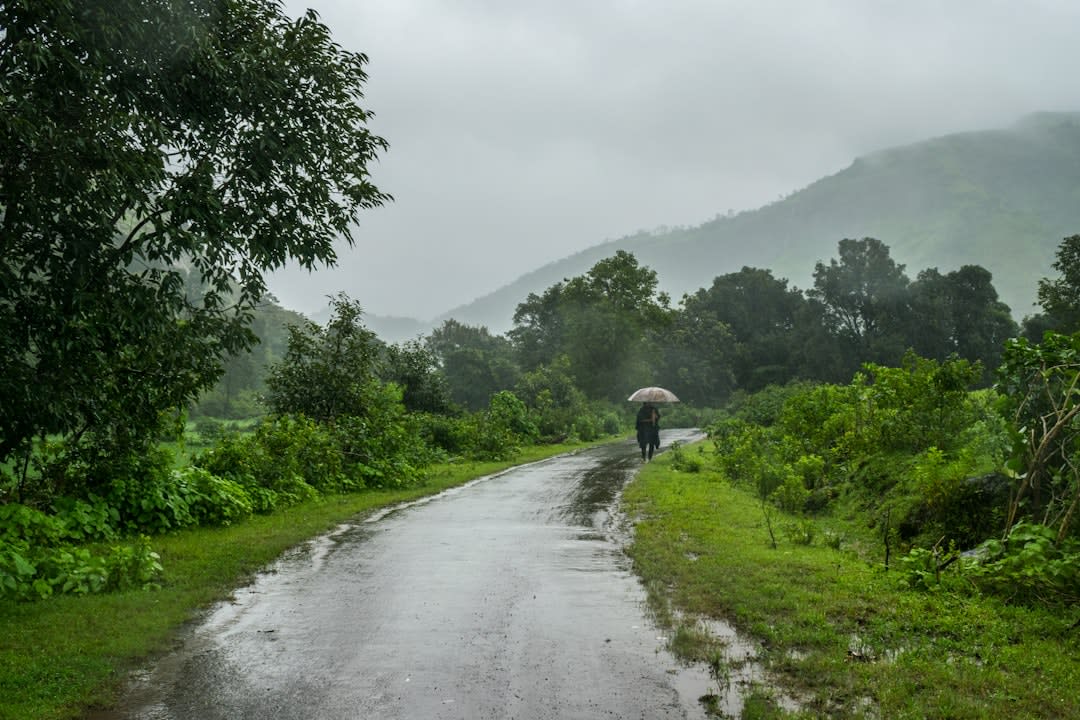
- •Kerala Floods 2026: Torrential Rains Test Disaster Response and Highlight Cyclone Risks
Kerala Floods 2026: Torrential Rains Test Disaster Response and Highlight Cyclone Risks
Heavy rain on July 31 – August 2 pushed the Mullaperiyar reservoir from 112.45 ft to 116 ft, while 361 mm fell in a single 24‑hour spell at Vadasserikkara, Pathanamthitta. The Kerala State Disaster Management Authority (KSDMA) ordered evacuations in Kozhikode, Idukki and Kasaragod, shifting more than 395 people to relief camps and recording two fatalities and five missing fishermen. The episode underscores how extreme monsoon events intersect with India’s broader cyclone‑prone geography.
The deluge triggered landslides in the high ranges of Kottayam and Pathanamthitta, destroying houses, roads and crops. Health Minister K. Muraleedharan mobilised medical teams and stocked essential medicines for the displaced. Simultaneously, river flows surged from 454 cusecs to a peak of 7,000 cusecs, overwhelming drainage networks.
- ▸361 mm of rain recorded at Vadasserikkara in a 24‑hour period ending 8:30 a.m. on August 1.
- ▸Mullaperiyar dam storage rose to 116 ft by 6 p.m. on August 1, up from 112.45 ft on July 31.
- ▸187 people were shifted to 13 relief camps in Idukki; 208 people occupied five camps in Kasaragod.
- ▸Two deaths and five missing fishermen were reported after a blanket fishing ban was lifted.
- ▸River discharge peaked at 7,000 cusecs, far exceeding the normal range of 454–2,649 cusecs.
These figures illustrate the acute strain on infrastructure and emergency services when monsoon intensity exceeds design thresholds.
Why Kerala Is Vulnerable: Physical Geography and Cyclone‑Prone Zones
Kerala’s 580 km coastline lies within the Cyclone Prone Areas of India as defined by the India Meteorological Department. The state’s western ghats funnel moist air from the Arabian Sea, creating orographic lift that intensifies rainfall. Moreover, the region’s alluvial plains and river basins—particularly the Periyar and Bharathappuzha—are low‑lying, making them susceptible to flash floods and landslides.
- ▸The frequency of cyclonic disturbances along India’s west coast has more than doubled since the 1970s.
- ▸Sea‑level rise projections suggest that a twelfth of today’s deltaic terrain could be submerged by 2100.
- ▸The western coast’s mixed lithology—hard basalt in Saurashtra and soft alluvium in the Konkan—produces differential erosion rates of 0.3–1.2 m dec⁻¹.
- ▸The Sundarbans mangrove fringe, classified as “high‑risk” in the IUCN Coastal Vulnerability Index 2021, exemplifies the heightened exposure of similar ecosystems in Kerala.
These geophysical factors, combined with climate‑driven intensification of monsoon depressions, explain why Kerala repeatedly finds itself at the frontline of extreme weather events.
Did You Know? The 2026 Kerala floods recorded the highest single‑day rainfall in the state’s modern history, surpassing the 1998 record by over 20 mm.
Institutional Response and Gaps
The KSDMA, under the aegis of the National Disaster Management Authority, coordinated evacuation orders and health‑care deployment. While the health ministry’s rapid mobilisation of staff and medicines mitigated immediate health crises, gaps emerged in early warning dissemination. The India Meteorological Department (IMD) had not officially declared a cloudburst, despite rain‑gauge data indicating a 361 mm event, leading to delayed public alerts.
- ▸KSDMA’s orange alert covered 12 districts, prompting pre‑emptive road closures on ghat sections.
- ▸The health department dispatched teams to all relief camps within 24 hours of the alert.
- ▸IMD’s lack of a cloudburst declaration delayed activation of the state’s flood‑early‑warning system.
- ▸The district collector in Kasaragod praised inter‑departmental coordination but warned of “resource fatigue” for prolonged operations.
- ▸Over 200 mm of rain fell in Peerumade and Thodupuzha taluks, yet many remote hamlets remained without real‑time alerts.
These observations highlight the need for tighter integration between meteorological data and disaster‑management protocols.
Policy Landscape: From Risk Authority to International Frameworks
In response to escalating cyclone threats, the Law Commission’s 2024 draft bill proposes a National Cyclone Risk Authority empowered to levy risk‑adjusted levies on coastal developments. Parallelly, India remains a signatory to the Sendai Framework for DRR, which obliges the nation to enhance risk assessment, early warning, and community resilience. However, implementation gaps persist, especially in translating national guidelines into district‑level action plans.
- ▸The draft bill envisions a statutory body with powers to enforce “cyclone‑risk‑adjusted” building codes.
- ▸The Parliamentary Standing Committee on Disaster Management (2023) recommended aligning PHZ updates with climate projections.
- ▸Under the Sendai Framework, India pledged to reduce disaster mortality by 2030, yet the 2026 Kerala fatalities exceed the
Tags
Concepts Mentioned
Sendai Framework for DRR
The Sendai Framework for Disaster Risk Reduction is a global plan to reduce disaster losses. It is significant for its focus on prevention and mitigation. Adopted in 2015, it aims to achieve substantial reduction in global disaster mortality by 2030.
National Cyclone Risk Authority
The National Cyclone Risk Authority (NCRA) is a statutory body under the Ministry of Home Affairs, created to assess, mitigate and manage cyclone-related risks across India. It coordinates disaster‑risk reduction, integrates climate projections into planning, and oversees insurance schemes. In 2023, NCRA helped design the Coastal Resilience Fund that financed the reinforcement of 1,200 km of vulnerable shoreline.
National Disaster Management Authority
The National Disaster Management Authority is a government agency responsible for disaster management. It plays a crucial role in mitigating disasters. India's NDMA was established in 2005.
Indian Meteorological Department
The Indian Meteorological Department (IMD) is the national weather forecasting agency of India, responsible for monitoring and predicting weather conditions across the country. It plays a crucial role in disaster management, agriculture, and aviation by providing accurate weather forecasts and warnings. The IMD issues the India Meteorological Department's Cyclone Warning Centre, which issues cyclone warnings for the eastern coast of India.
Cyclone Prone Areas of India
Cyclone‑prone areas of India are the coastal zones of the Bay of Bengal and the Arabian Sea that frequently face tropical cyclones. Their importance lies in the recurrent devastation—e.g., the 1999 Odisha super‑cyclone with 260 km/h winds killed over 10,000 people and displaced millions.
Log in to like, comment, and join the discussion.